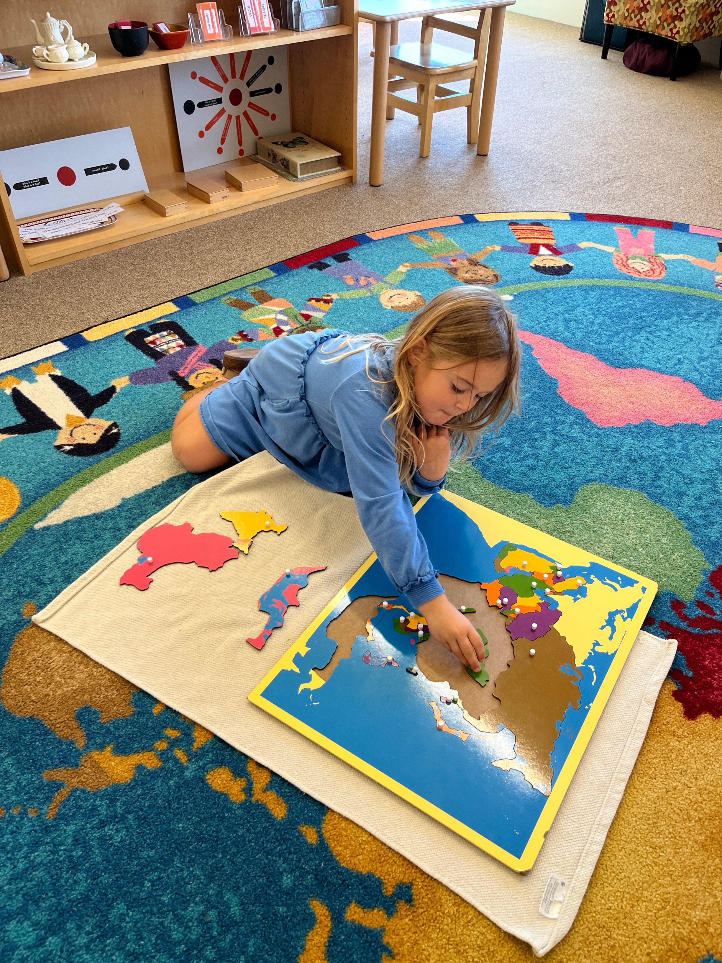
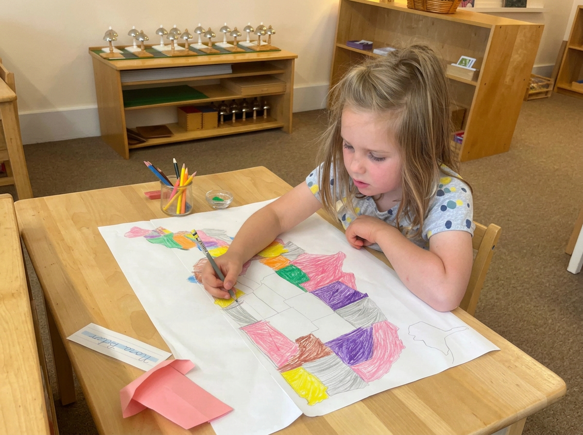
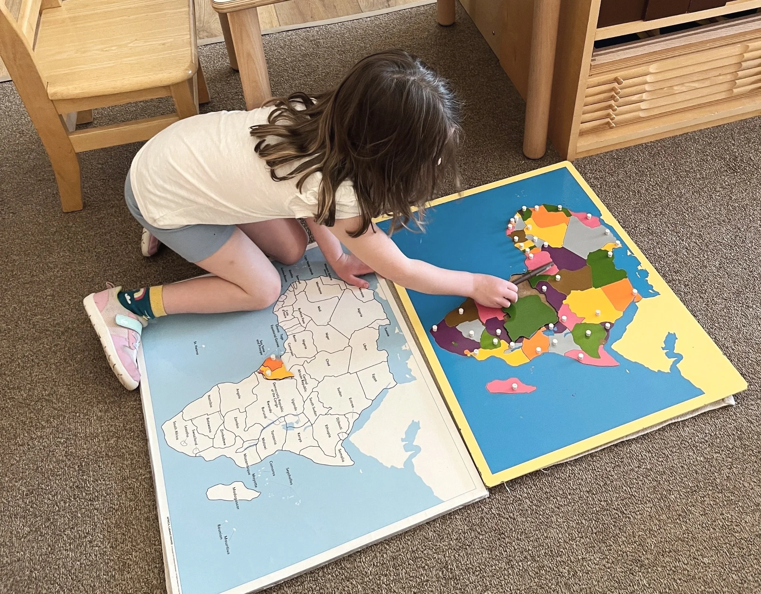
Recently, one of our Children’s House classrooms (ages three to six) has had an explosion of work with the continent maps. One blue-sky morning a student standing at the large picture window declared, “The flag of the United States” as he looked towards the flagpole in front of the Junior High building. This boy had been working with a book of flags and learning the names of many country flags the day before. Meanwhile, a 3-year-old took out a world map to learn the names of the continents through a song, “North America, South America, Africa, Asia, and Europe. Don’t forget Oceania, don’t forget Antarctica. North America, South America, Africa, Asia and Europe.” A few feet away a couple of 5-year-olds were building the map of North America and the United States piece by piece outside of the frame. Moments later a 6-year-old walked over to the teacher to show the map of Africa that he created—by tracing, coloring, and labeling each country—with a wide smile on his face.
Dr. Montessori believed that geography is not just the study of facts, rather it is an exploration into the life of man. Geography is part of what Montessori classrooms call the Cultural curriculum, and its materials help children make connections across the classroom and out into the world around them.
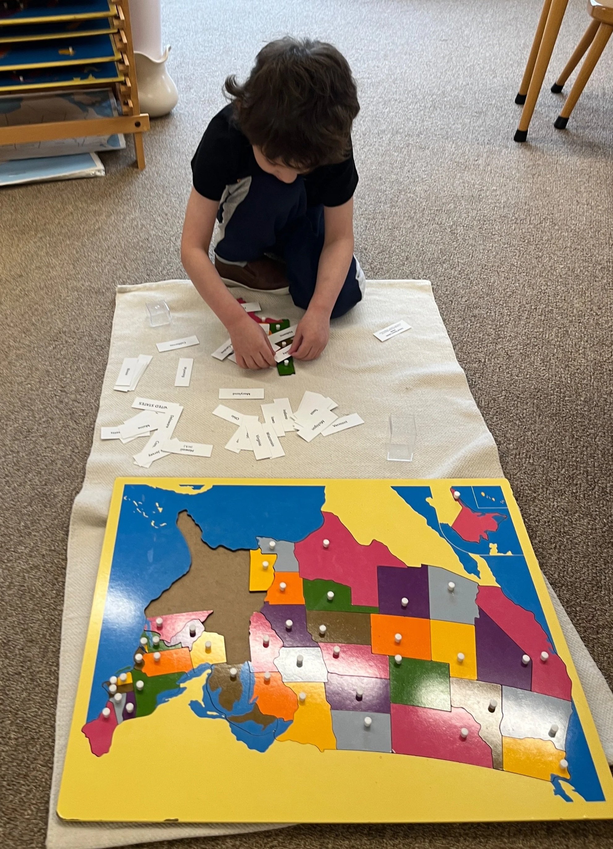
Many of us learned geography as a list to memorize: capitals, rivers, borders. In a Montessori classroom, it begins with the hands. This part of the curriculum begins with the general and moves to the specific. Children first handle the materials, taking the pieces in and out. Then they learn the language that goes with them: the names of continents, countries, and states. All the children in the room work with these materials, from the youngest to the oldest, who then carry the work into writing by labeling their own maps, thus deepening their understanding of the world and how we are all connected.
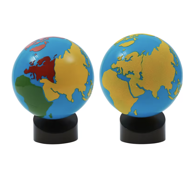
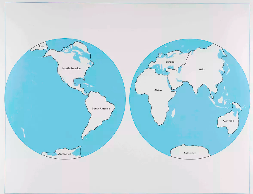
The Globes come first, introducing the concepts of land and water, then continent and ocean. Next, children take apart and rebuild the world puzzle map and learn the name of each continent. Once they know the continents, they move on to a puzzle map for each one. Children also work with scale models of flags, which sharpen their eye for shapes and colors as they begin to learn which flags represent which nations. The land and water forms are small, concrete models of lake and island, cape and bay, strait and isthmus, and more. They open conversations about land formations, volcanoes, erosion, and types of rocks. Right outside the classroom door, in the 400 acres of conservation trails surrounding our campus, there are real examples of rocks and land formed by water. These allow students to make connections from the classroom to the real world.
Geography folders hold images of people, their clothing, and daily activities from each continent. Children compare them and begin to see that while we are all different, all humans have the same basic needs; meeting them may just look different depending on where we live. For example, warm-climate houses are distinctly different from houses in colder climates. Along the way, children explore connections and expand their knowledge of people and places around the world. This is the beginning of what Dr. Montessori called Cosmic Education—the child’s task on Earth and the interconnectedness of all living things.
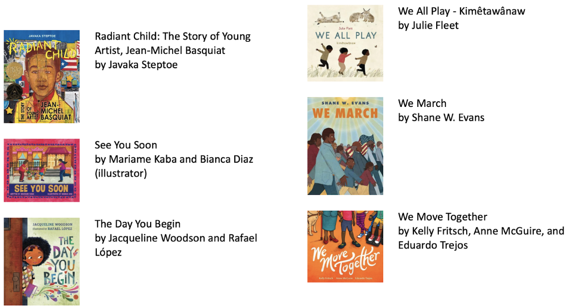
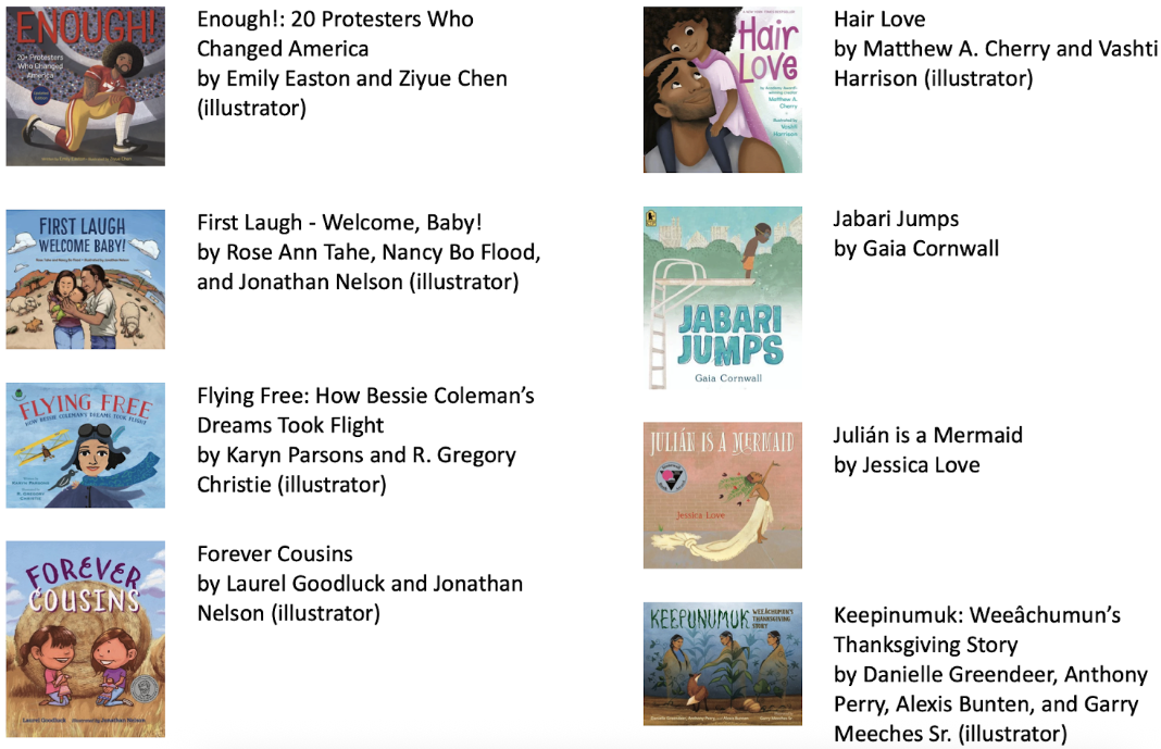
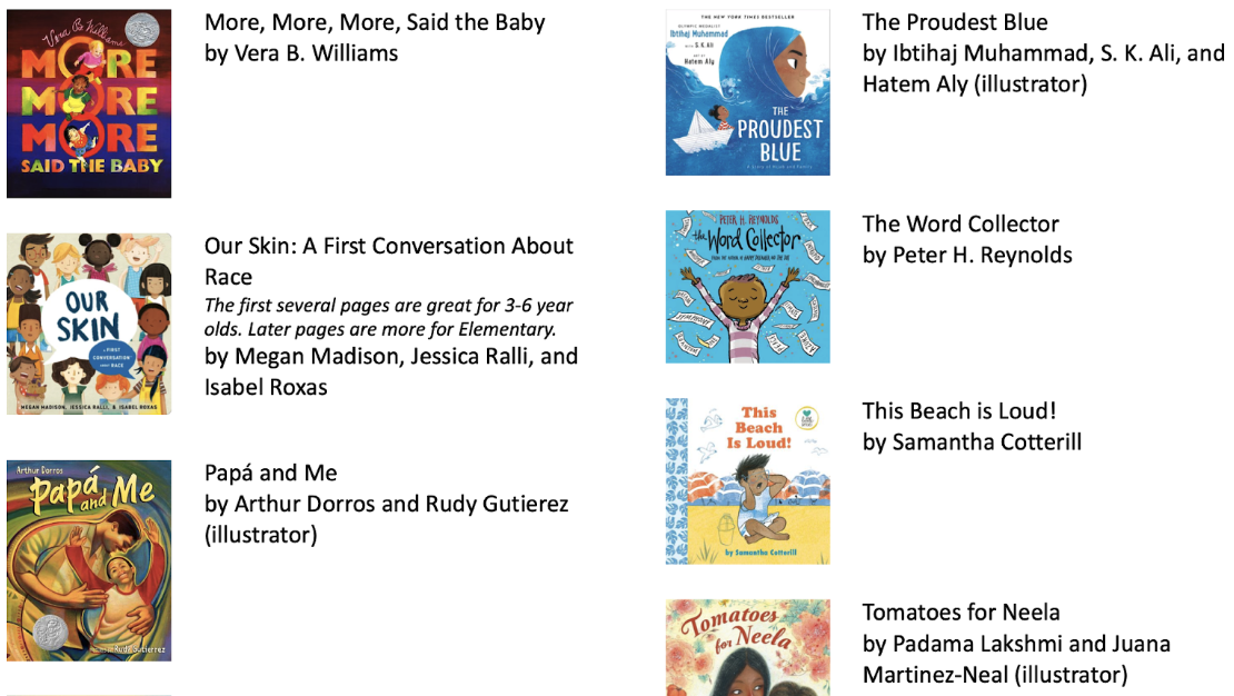
The library is another resource for geography: books can be doors to new cultures. Our classroom library includes books with real pictures of people from other countries, various forms of transportation, customs and celebrations, and plants and animals from regions around the world. If you want to continue these connections at home, start with some of our classroom favorites below.